

View lesson
 8 min
8 minIntroduction to Geofencing in UAS
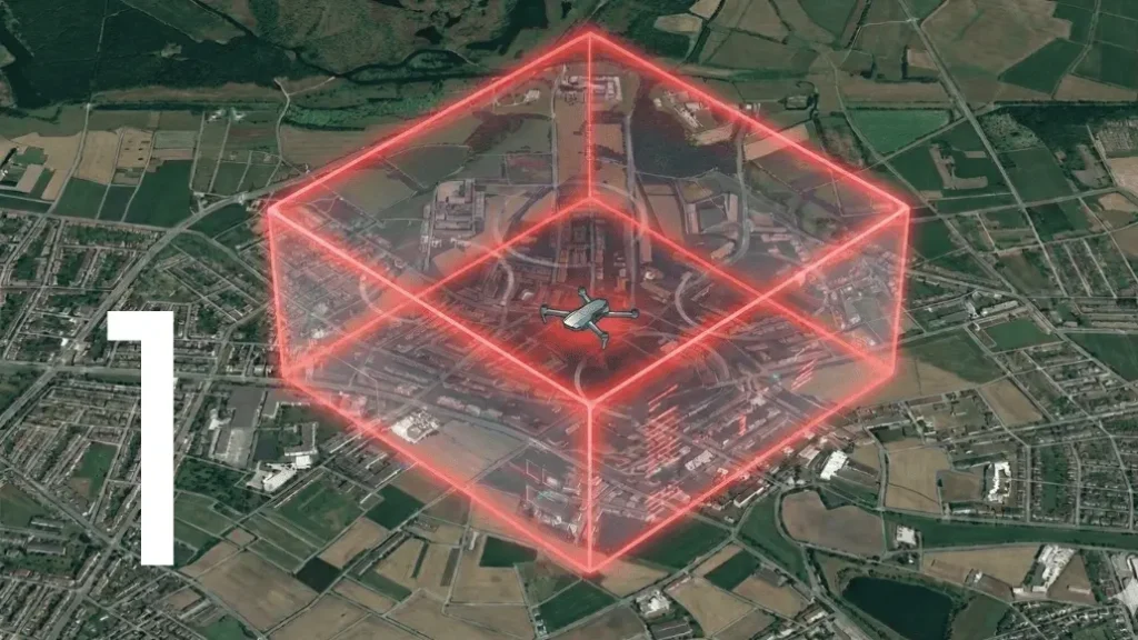

Defining Geofencing in the UAS Context
Geofencing is a key technology for the safe and regulated operation of unmanned aerial vehicles (UAVs). It allows the definition of virtual operational boundaries using geographic coordinates and is enforced through GNSS positioning and flight-control software. By restricting, conditioning, and monitoring a UAV’s movement within specific areas, geofencing contributes to airspace safety, regulatory compliance, and the development of advanced and autonomous operations.
It is a critical, safety-of-flight system embedded within the UAS’s avionic suite, commonly within the Autopilot Flight Control System (AFCS). It is a highly reliable mechanism designed to automatically enforce operational limitations by preventing, detecting, and/or reacting to the UAS’s unauthorized flight into predefined, restricted airspace.
A geofence is a virtual perimeter for a real-world geographic area. In civil aviation, these areas are typically classified based on the severity of the operational restriction they impose. For UAS, a geofence can represent:
- No-Fly Zones (NFZ): High-risk, mandatory exclusion areas (e.g., near airports, nuclear power plants, military bases).
- Restricted Zones: Areas where flight is allowed only under specific conditions or with explicit authorization.
- Operating Zones: The boundaries of the UAS’s intended mission area.
The fundamental engineering challenge lies in ensuring that the geofence implementation is fail-safe and tamper-proof. Reliable geofencing for safety-critical UAV operations requires robust integrity monitoring and appropriate redundancy in the GNSS positioning and flight control systems.
The technical pillars of Geofencing implementation
The reliable functioning of geofencing rests on three core technical pillars within the avionic architecture:
Accurate and Reliable Positioning (GNSS/INS)
The UAS must know its position with high fidelity. This involves:
- Global Navigation Satellite Systems (GNSS): Relying on constellations like GPS, Galileo, GLONASS, and BeiDou.
- Inertial Navigation Systems (INS): Utilizing accelerometers and gyroscopes to provide short-term, highly accurate state estimation, mitigating GNSS signal loss (spoofing or jamming).
- Fusion Algorithms (e.g., Kalman Filtering): Integrating GNSS and INS data to provide a highly trusted position solution to the AFCS, minimizing positional error ( Estimated Position Error).
Autopilot Flight Control System logic
The Autopilot is the brain that executes the geofence rules. Key components of the logic include:
- Boundary Definition: Storing the geofence geometry.
- Distance Calculation: Continuously calculating the shortest distance between the UAS’s current position and the nearest geofence boundary.
- Reaction Protocol: Predefined, fail-safe procedures to execute upon approaching or penetrating a boundary. These typically follow a tiered approach:
- Level 1 (Warning): Visual and audible alert to the remote pilot at the Ground Control Station (GCS).
- Level 2 (Prevention): Automatic adjustment of the flight path vector or reduction of the vehicle’s maximum speed and maneuverability to prevent boundary crossing.
- Level 3 (Containment/Termination): Execution of a critical contingency procedure, such as an Automatic Return-to-Home (RTH) or, in the worst-case scenario, a Controlled Termination of Flight (CTF) (e.g., controlled descent to a safe point or emergency landing).
Digital Airspace Data Management
Some geofences are dynamic and require regular updates to reflect changes in airspace status, such as Temporary Flight Restrictions (TFRs). This typically requires a secure and validated data link, along with a controlled update process aligned with recognized aeronautical data quality principles. Airspace data used for geofencing should be demonstrably valid, traceable, and properly version-controlled.
Classification and Types of Geofencing
From a functional standpoint, geofencing systems are often categorized based on their enforcement method:
- Software-Based (Soft) Geofencing:: Implemented at the software level, such as within a Ground Control Station (GCS) or mission planning tool. While flexible and easy to update, this approach relies on pilot compliance and can typically be overridden or bypassed. As such, it is generally not considered a primary or critical safety barrier.
- Firmware/Autopilot-Based (Hard) Geofencing:Implemented directly within the UAV’s autopilot firmware and flight control logic. This type of geofencing is enforced independently of operator input during flight and is therefore considered a stronger safety barrier. In higher-risk or regulated operations, such systems may be developed following recognized aviation software assurance principles (e.g., DO-178C-like processes), depending on the applicable regulatory framework and safety objectives.
- Network-Based Geofencing (e.g., U-space/UTM): The geofence is managed and enforced by a central external system (e.g., the U-space Service Provider – USSP). The UAS continuously reports its position to the USSP, which can send a command (via a C2 link) to enforce the boundary. This represents the future of large-scale, dynamic airspace management.
The safety imperative: Geofencing as a mitigation
In aviation risk management, geofencing plays an important role as a safety mitigation tool for unmanned aircraft systems (UAS). By defining virtual boundaries for drone operations, geofencing helps reduce risks both to people on the ground and to other airspace users.
From a ground safety perspective, geofencing helps prevent drones from unintentionally flying over populated or restricted areas outside the approved operational zone, lowering the likelihood of harm to people or property in the event of a failure.
From an airspace safety perspective, geofencing supports compliance with airspace rules by keeping drones within permitted areas and away from controlled or high-traffic airspace, such as areas near airports. As highlighted by aviation authorities, there is no “free” or unregulated airspace, different airspace classes have different rules, and drone operators are responsible for knowing where they are allowed to fly. Geofencing can assist operators by providing an additional technical safeguard against accidental airspace violations.
Overall, while geofencing does not replace pilot responsibility or regulatory approval, it serves as a valuable supporting measure to enhance situational awareness, promote regulatory compliance, and improve the overall safety of drone operations.
In conclusion, the implementation of geofencing is a cornerstone of modern avionic safety. It mandates a multidisciplinary engineering approach, combining high-integrity positioning, robust AFCS design, and strict adherence to aeronautical data standards to ensure the public safety and the continued growth of the UAS sector.
