

View lesson
 8 min
8 minGeocaging under ED-270 (EUROCAE Standards)

Introduction to the ED-270 standard
The ED-270, established in June 2020 by EUROCAE Working Group 105, is the global reference for Minimum Operational Performance Standards (MOPS) regarding Geocaging. In the world of aviation, “MOPS” are the minimum requirements a system must meet to be considered safe for aeronautical use.
When we talk about Geocaging, the standard makes a clear distinction:
- The Function: the software logic and rules that keep the drone in its place.
- The Equipment: the physical hardware (like the autopilot) and the software that actually carries out those rules.
By following ED-270, manufacturers and operators can prove to aviation authorities that their system is reliable enough for complex missions, such as those defined under the SORA (Specific Operation Risk Analysis) framework.
Defining the “Cage”: how we keep drones safe
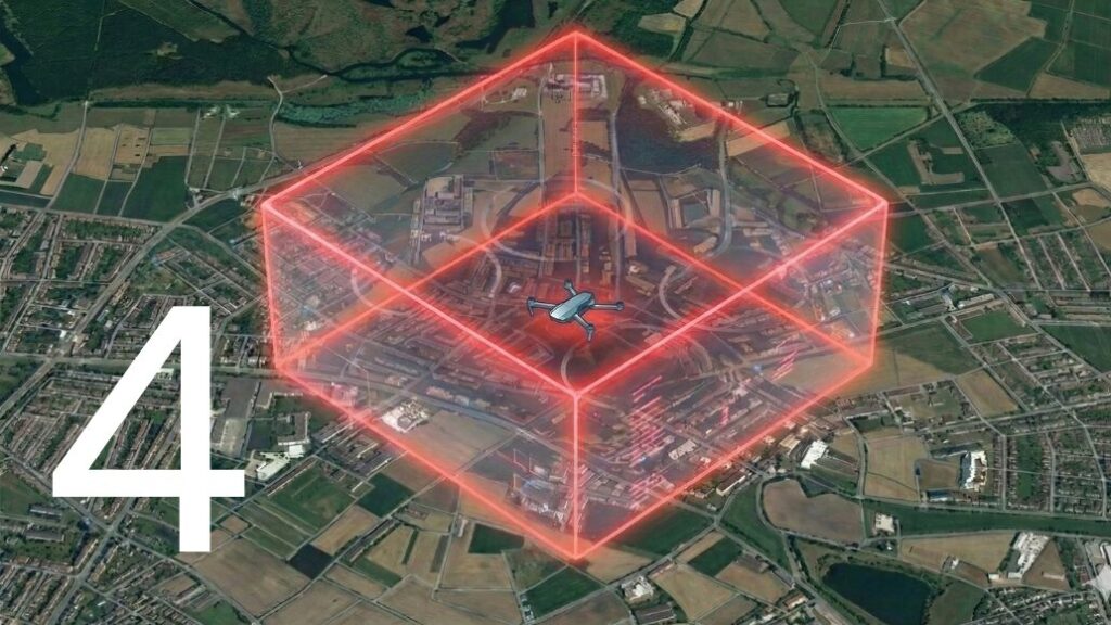
At its heart, Geocaging is a safety feature that helps a remote pilot ensure the Unmanned Aircraft (UA) never leaves a pre-defined volume of air. While Geofencing is often used to keep drones out of restricted areas (like airports), Geocaging is used to keep them in their designated work zone.
The standard defines the “Cage” as a set of nested volumes, almost like layers of an onion:
- Flight Geography: this is the primary “playground.” It is the volume of air where the drone is intended to fly during normal operations.
- Contingency Volume: this is the “safety net.” If the drone accidentally drifts out of the Flight Geography, it enters this space temporarily while the pilot or the system performs a maneuver to bring it back.
- Emergency Buffer: this is the “outer limit.” If the drone enters this space, it means the primary control has failed, and an emergency action, like a Flight Termination System (FTS), must be triggered to prevent it from entering restricted zones.
Understanding the three grades of safety
ED-270 recognizes that not every drone mission has the same level of risk. Therefore, it defines three “grades” of Geocaging:
- Low Grade: designed for low-risk missions. It provides Caution Alerts (to warn the pilot a boundary is close) and Contingency Warnings (when the boundary is crossed).
- Medium Grade: includes everything in the Low Grade but adds a higher level of reliability. It is built to ensure the drone leaves its safety volume less than once every 10,000 flight hours.
- High Grade: the most secure level, requiring two independent channels of control. This means that even if the main autopilot fails completely, a second, separate system is there to stop the drone before it leaves the safety buffer.
Making the system reliable and user-friendly
In this revised look at Section 4, we focus on how the drone’s brain (the avionics) interacts with the human pilot and the environment. Reliability isn’t just about fancy code; it’s about making sure the pilot always knows what is happening.
The importance of the user manual
A certified Geocaging system must come with a detailed manual. As an operator, you must be able to define the “Cage” clearly, how many points are in the polygon, how high it can go, and what the minimum and maximum dimensions are. The system must also make it easy to load these parameters correctly; if you try to take off with an invalid or corrupted safety zone, the system “shall” automatically prevent the drone from launching.
Real-time awareness and “health checks”
The autopilot does more than just watch the boundaries; it watches its own health.
- Position Accuracy: the drone must constantly check if its GPS or positioning sensors are working correctly. If the position data becomes “fuzzy” or unreliable, the system must issue a Health Status Warning to the pilot.
- Clear Alerts: ED-270 requires that alerts be “unambiguous”. This means when a pilot sees a warning on their screen, they shouldn’t have to guess what it means—it should be crystal clear that they are approaching or have crossed a safety limit.
- Physical Protection: to prevent accidents, controls that aren’t needed during flight (like the buttons to delete the safety cage) must be hard to reach so they aren’t pressed by mistake.
Building the safety zones: the art of planning
Instead of looking at complex math, let’s look at the logic of how we plan a safe flight zone. Every drone needs a bit of “padding” around it to account for three main factors: Position Error, Reaction Time, and Maneuver Space.
Factoring in the “wobble” (position error)
No GPS is perfect; every drone has a small “wobble” in its reported position. When we define a Flight Geography, we must subtract this error from the limit. If your GPS is accurate to 2 meters, you need to stay at least 2 meters away from the edge to be sure you haven’t actually crossed it.
The human vs. machine reaction
When a drone crosses a line, it doesn’t stop instantly.
- Human reaction: if a pilot is flying manually, ED-270 assumes it takes about 5 seconds for the human to realize there is a problem and move the sticks to fix it.
- Machine reaction: if the system is automatic, it’s faster—usually assumed to take 3 seconds to start a recovery. During those seconds, the drone is still moving toward the edge! We calculate this “Reaction Distance” by looking at the drone’s speed and multiplying it by that reaction time.
Maneuver space and wind
Once the pilot (or the computer) reacts, the drone needs space to physically turn around or stop.
- The “Half-Turn”: a drone moving at 50 km/h needs a certain distance to bank and turn back into the safe zone.
- The Wind Factor: if there is a strong wind blowing toward the boundary, the drone will travel much further during its turn than it would on a calm day. By combining the Position Error, the Reaction Distance, and the Maneuver Space, we determine exactly how wide the “Contingency Volume” and “Emergency Buffer” need to be to keep everyone on the ground safe.
