

View lesson
 8 min
8 minGeofencing under ED-269

Role of Geofencing in the ED-269 Framework
EUROCAE ED-269 defines the Minimum Operational Performance Standard (MOPS) for UAS Geofencing. It establishes the technical and operational requirements for U-space services, whose objective is to enable the safe, secure, and efficient integration of unmanned aircraft systems (UAS) into shared airspace. While ED-269 primarily addresses service-level functions and information exchanges, it explicitly defines the Geo-awareness function, the onboard capability that provides the pilot with information about the airspace constraints.
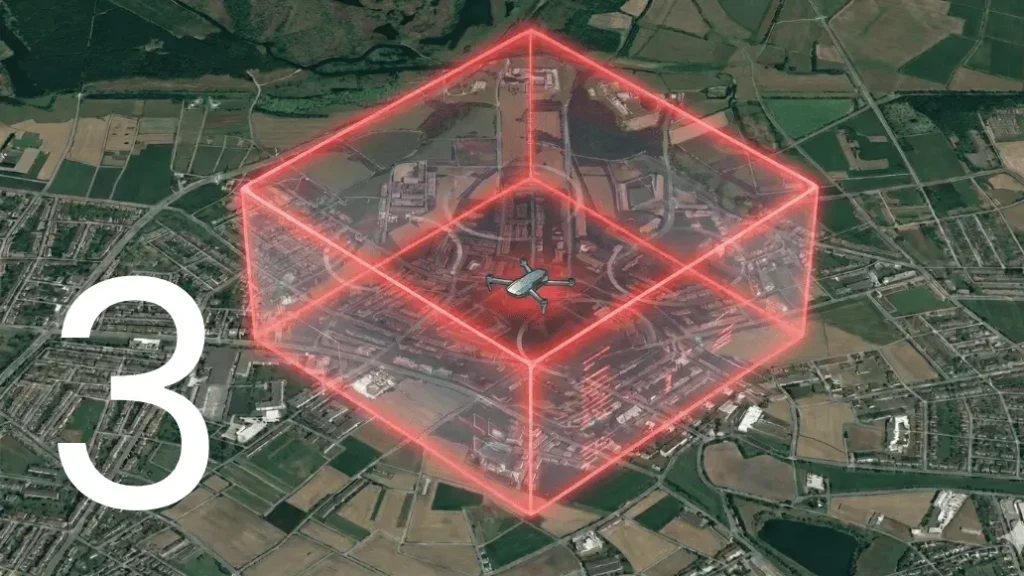
Within the ED-269 framework, geofencing is understood as the use of digital geographical data to define and enforce the authorized lateral and vertical limits of an operation. Its primary purpose is to ensure that the UAS operates in accordance with the airspace constraints and flight authorizations managed through U-space services. According to the standard, the system must process UAS Zones (as defined by the Regulation (EU) 2019/945), which includes prohibited, restricted, or tailored operational volumes. Geofencing therefore contributes directly to the predictability and reliability of UAS behavior, which are essential for safe coexistence with other airspace users.
It is important to emphasize that ED-269 provides the performance requirements rather than a rigid hardware architecture. Instead, it establishes functional expectations at system level, such as the requirement for the system to provide alerts at least 10 seconds (or a distance determined by the system’s dynamics) before a potential breach. Geofencing acts as a supporting technical means at aircraft level, enabling operators and U-space service providers to rely on the assumption that approved operational volumes will be respected during flight execution.
Geofencing and U-space operational volumes
A central concept in ED-269 is the management of airspace constraints and operational volumes through U-space services such as flight authorization, airspace information, and traffic awareness. These services define where and when a UAS is permitted to operate, taking into account other airspace users, restrictions, and dynamic conditions.
Geofencing plays a critical role in translating these externally managed constraints into enforceable onboard limits. The standard requires the system to handle both Horizontal (Lateral) and Vertical limits. Once an operational volume has been approved and communicated, geofencing ensures that the UAS remains within that volume throughout the flight. This alignment between planned intent and actual aircraft behavior is fundamental to strategic deconfliction and to maintaining trust in the U-space system.
By enforcing both lateral and vertical limits, geofencing supports the containment of the operation and reduces the likelihood of unintended airspace infringements. ED-269 specifies that the Vertical Limit must be referenced to a common datum (typically EGM96 for GNSS height or barometric pressure), ensuring that the UAS does not exceed the ceiling of its authorized volume or penetrate protected flight levels. This containment is not only a safety benefit for the individual operation, but also a system-level requirement that enables U-space services to function effectively.
Digital airspace data and information integrity
ED-269 assumes that airspace constraints and UAS geographical zones are made available in digital form, enabling automated processing and interoperability. The standard defines a specific Data Model for these zones, requiring parameters such as zone ID, type (prohibited/restricted), vertical limits (lower/upper), and period of validity.
For geofencing to function reliably, the onboard system must be capable of receiving and applying authoritative and up-to-date airspace data. This introduces important requirements related to data integrity and management. Although ED-269 does not prescribe a specific data model for the internal autopilot, it is strictly aligned with the use of standardized aeronautical data formats commonly used in aviation.
From an operational perspective, the UAS must ensure that new or updated geospatial data is validated before being used in the flight control logic. ED-269 emphasizes the Update Frequency and the Integrity of the Geo-Zone data. This typically involves version control, integrity checks (such as CRC or digital signatures), and safeguards against the use of outdated or corrupted data. Reliable data handling is essential, as incorrect geofencing data can lead to unsafe or non-compliant behavior, undermining the objectives of U-space.
Preventative Geofencing and flight control intervention
In the ED-269 context, geofencing is most effective when implemented as a preventative function, meaning that the system actively prevents the UAS from entering airspace where it is not authorized to operate. Preventative geofencing goes beyond pilot advisories or warnings and requires direct interaction with the flight control system (Autopilot).
When the UAS approaches the boundary of its authorized operational volume, the flight control system must intervene to avoid a violation. This is what the standard calls the Automatic Flight Control intervention. This may involve limiting speed, modifying the flight path, or overriding pilot inputs that would result in an infringement. Such interventions support the containment of the operation and help ensure that deviations do not propagate into broader airspace conflicts.
The ED-269 MOPS requires that the system provides a Warning (a high-priority alert requiring immediate pilot attention) before the automatic intervention occurs. Preventative geofencing is particularly relevant in U-space environments where multiple UAS operations are managed simultaneously. Predictable containment allows U-space services to rely on strategic planning and reduces the need for reactive conflict resolution.
Human–machine Interface and pilot responsibility
Although geofencing can operate autonomously, ED-269 is based on the principle that the remote pilot remains responsible for the operation. For this reason, geofencing must be accompanied by a clear and effective Human–Machine Interface (HMI) in the Ground Control Station (GCS).
According to the standard, the pilot should be able to understand the location of geographical boundaries, the UAS’s position relative to those boundaries, and any system actions triggered by geofencing. The HMI must display:
- The current Status of the Geo-awareness function (Active/Inactive/Degraded).
- Visual cues of the Geo-zones within a minimum range of the UAS position.
- Clear feedback when the system modifies or overrides pilot commands.
Without adequate transparency, automated interventions may lead to confusion or loss of situational awareness. Geofencing under ED-269 should therefore be viewed as a cooperative function, where automation supports the pilot while maintaining clarity and accountability.
Geofencing as a safety mitigation
Although ED-269 does not define safety assessment methodologies, geofencing is widely used as a technical mitigation within risk-based frameworks such as SORA (Specific Operations Risk Assessment). By limiting where the UAS can physically fly, geofencing reduces both ground risk (by keeping the drone away from populated areas) and air risk (by keeping it away from manned aircraft corridors).
When geofencing is relied upon as a primary mitigation (e.g., to reduce the Ground Risk Buffer), its performance and integrity become critical. Operators must be able to demonstrate that the likelihood of leaving the authorized operational volume is sufficiently low to justify the claimed risk reduction. This reinforces the importance of robust design, appropriate monitoring, and careful integration with other onboard systems, following the Containment requirements set forth in the MOPS.
Summary
Under EUROCAE ED-269, geofencing is a key enabling function that supports the objectives of U-space by enforcing compliance with authorized operational volumes and airspace constraints through standardized data and performance levels. While not explicitly mandated by all flight categories, it is essential for achieving the predictability, containment, and safety required for scalable UAS integration.
By translating U-space service outputs into enforceable onboard limits with high integrity, geofencing bridges the gap between airspace management and aircraft behavior. As U-space evolves, geofencing will remain a foundational element in ensuring that UAS operate safely, responsibly, and in harmony with other airspace users.
