Drones, or unmanned aerial vehicles (UAV), are innovating traditional topography, getting a large relevance as cutting-edge technology. Drones offer high-accuracy 3D point clouds, vectorial cartography blueprints, metric orthophotography, and terrain photographs. With these, it is possible to develop rigorous cartographic works, replacing detection devices and traditional 3D measuring instruments.
The most frequent objective of topography is to bring to reality the designs developed in engineering and architectural firms. As well as to examine structures, to develop urban planning, to manage properties, and to assist in mining activities and earthmoving. With unmanned flights with drones, it is possible to make high-accuracy topographic surveys. Mapping singular infrastructures, in addition to large areas of land; digitizing large surfaces in one day.
In the first instance, after the topography image acquisition operation, it can be obtained the georeferenced DTM (Digital Terrain Model) in digital format for posterior analysis with compatible software, such as Pix 4D, Agisoft, Photoscan, etc. In this way, users can get the most out of the model produced, quickly, accurately, and at any time, consulting on lengths, cambers, etc.
Advantages of using drones in topography
Upon completion of the drone flight, it is obtained a 3D model with centimetric accuracy, permitting to work with a highly close to reality-scanned surface. Thus, achieving the following advantages over traditional topography:
- Efficiency and reliability
Minimizes process costs and reduces the time used. The whole area is modeled at one time, and subsequently the necessary measures are taken in the model, avoiding posterior field work. - Range and performance
Provides more coverage in inaccessible areas or areas that hinder topography measurements, clear spaces into lush forests, protrusions on cliffs, etc. - Documentation and information
Captures millions of points besides taking their color data, providing precise surface appearance, and showing the high-resolution clouds obtained. - Safety and cost
Significantly improves workers safety by not having to work in dangerous areas. Reducing personnel costs and tools for topography.
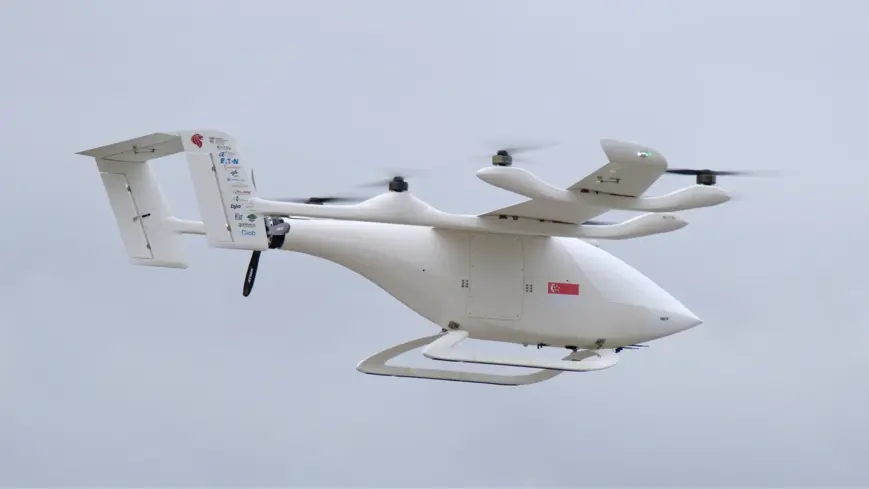
In conclusion, the solution to the most common problems in topography is present in the correct use of technological tools. With the use of NM& multirotor and fixed wing drones, all installing the professional Veronte Autopilot 1x, it is possible to have differential GPS (RTK) and inertial sensors that provide the necessary technical resources for each specific operation.