The UAV and drone sectors are continuously evolving. Functionalities of these systems are being improved daily, covering the necessities of all different operations such as terrain mapping, monitoring missions, crop management,… These new features on UAV systems are, in many cases, accompanied by an increase in the complexity of the systems, requiring more and more qualified operators.
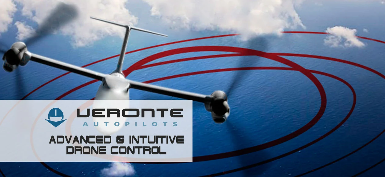
In Embention, we dedicate a large effort to improve the usability of our systems. In this way, one of our major goals is the development of intuitive systems that are easy to control. At the time we maintain a high versatility in the system. Therefore, we have recently introduced in Veronte Pipe tools for configuring missions in one click.
Missions in Veronte Pipe for Easy Control of Drones
First, it was navigation based on curves, and now, our engineers have developed tools for the easy and intuitive definition of the most common missions with just a few clicks on the map. It has highly increased User Experience on Veronte Pipe. In this way, we simplify the operation by decreasing the response time and the workload on the operator.
One of the most common missions using UAVs is terrain mapping. With the mapping tool in Veronte Pipe, flying over an area is as easy as selecting the area to cover and inserting the desired overlap and GSD. Veronte will automatically calculate the distance between passes and between photos with data from the camera, drawing the final route on the map. In addition, this tool allows drawing irregular polygons.
Another of the most common operations with UAVs is search and rescue missions. Veronte now has tools for the easy control of these UAV operations. Define a mission as simple and quick as marking on the map the point where we want to start the search and the size of the area we want to cover. Veronte automatically generates a spiral route around this point to scan the area in the most efficient way possible.
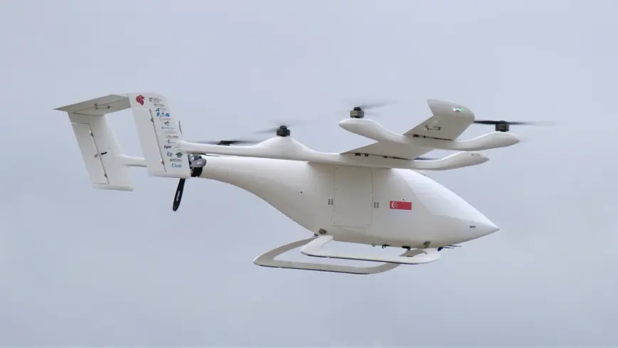
Parcel delivery services are also benefited from these new tools. Scheduling a delivery with the drone is as simple as selecting the point or points for delivery. The system will automatically draw the best route for reaching this location and perform the delivery. It is possible to select between parachute launching, onsite landing, or load drop by a reel system.
Together with these tools, there are many others as can be: fly in circles, racetracks, draw an 8-inch rectangle, monitoring of pipelines and power lines, border surveillance,… In this way, the operation is simple and intuitive, reducing the workload on the operator and allowing anyone to fly an autonomous drone in a few minutes.