

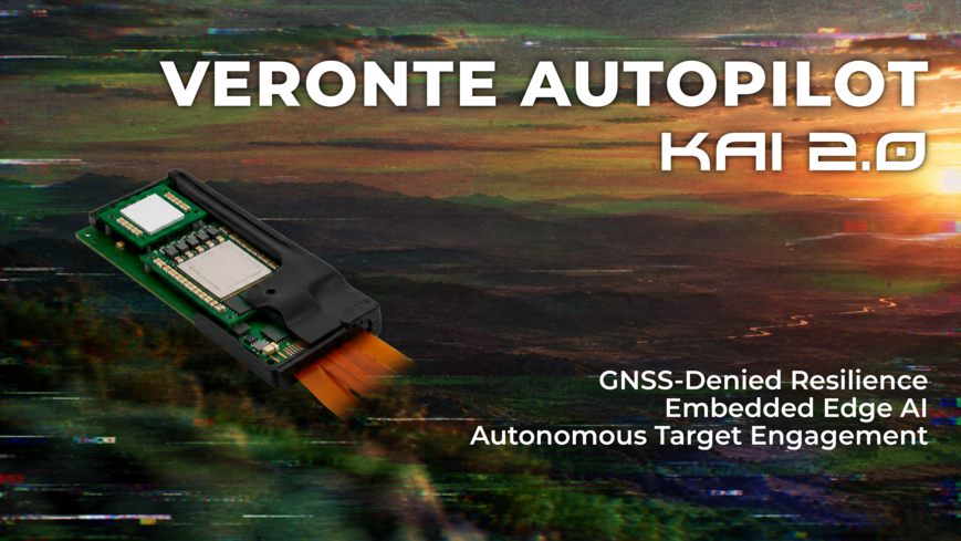
Embention releases upgraded Veronte KAI FCC for One-Way drones at MSPO
Discover Veronte KAI 2.2 with AI-based PNT, terminal guidance and scalable production for one-way drones in contested environments.
November 29, 2016
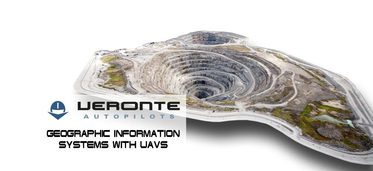
Mapping is not an exclusive discipline of surveyors. Geographic Information Systems, also called GIS, are being exploited by photometrists, civil engineers, geographers, and cartographers. Thanks to the use of UAVs for GIS techniques, results obtained are far superior to those obtained with traditional tools.
Professionals who use UAVs to develop GIS techniques offer a wide variety of mapping services, such as the subdivision of lands, terrain inspections for the construction of buildings, signaling of terrain borders,… They are also able to: create hydrographic maps and topographical maps; calculate stocks and reports for flood insurance;…
Thanks to the employment of UAVs and GIS techniques, it is possible to generate highly accurate topographic 3D point clouds. In addition, with the high-resolution photographs, the metric orthophotography, or the vectorial mapping schemes obtained, it is possible to perform detailed cartographic works. Mapping of individual locations as well as of large macrostructures or terrains in a single day can be done with great precision.
Within the NM& line of unmanned aircraft, there are several types of multi-rotors and fixed-wings or flying-wings compatible with GIS techniques. The NM& W210 should be highlighted among them with a high performance at an affordable cost.
The W210 is controlled by Veronte Autopilot and includes a wide variety of configuration options for UAV control. For mapping missions, it is just needed to select the area on the map and enter the desired GSD and overlap for the images. Reports obtained with operation data are completely configurable and compatible with most relevant post-processing applications for aerial photographs: Pix 4D, Agisoft Photoscan, Smart Planes Aerial Mapper, Postflight Terra 3D, etc.
These post-processing applications, in conjunction with the W210, make it easy to obtain: 2D ortho-mosaics and 3D terrain models, digital elevation models (DEM), distances, areas, volumes, contours, point clouds, multispectral terrain maps, etc.

Receive news & updates
Discover Veronte KAI 2.2 with AI-based PNT, terminal guidance and scalable production for one-way drones in contested environments.

The iMEDCAP consortium proudly announces the successful completion of the live pilot demonstration of its autonomous tactical medical evacuation system at NATO’s Vigorous Warrior 2026 exercise.

Learn about USV applications and advantages in marine exploration enhanced by Veronte Autopilot 1x for efficient autonomous control.
