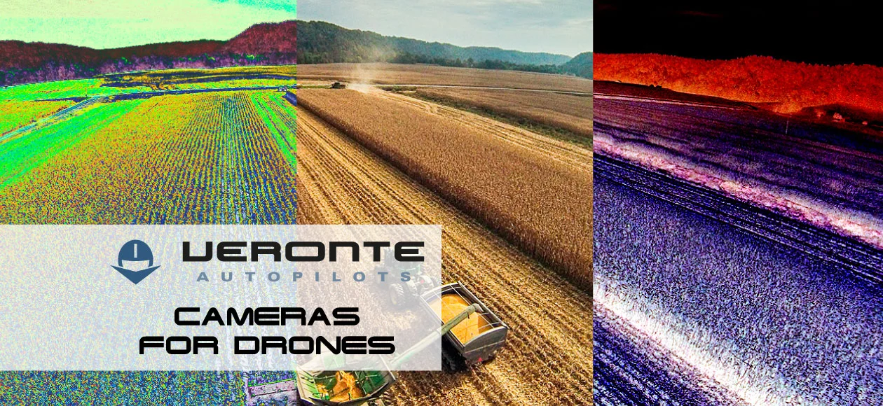
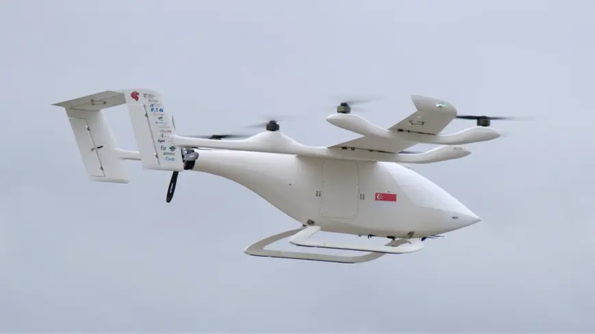
The use of drones for surveillance and inspection applications provides different functionalities related to mapping and real-time video. Through the use of infrared/thermic, multispectral, hyperspectral, and/or RGB/daylight cameras, drones are able to provide a great quantity of useful data, as well as they are able to perform flight operations under conditions that, through the use of traditional methods, would be impossible to do, such as night flights, flights with strong gusts, and flights over difficult access areas, among others.
Kind of embeddable cameras on drones
The most common cameras in the drone sector are the ones designed for surveillance purposes, installed on gimbals, and the ones for mapping missions. Surveillance cameras or gimbals are able to be oriented in any direction and are also able to perform “fly-by-camera” flight operations for moving vehicle tracking, maintenance, and inspection of critical infrastructures such as oil pipelines and so on. In addition, they also permit the surroundings detection on “Sense and Avoid” systems. Photographic ones provide, among others, functionalities to perform mapping missions, obtaining topographic surveys and orthomosaic images.
Thermic or infrared (IR) cameras are widely used for surveillance applications in the energy industry, construction industry, agriculture, rescue missions, and many others. For this purpose, drones help to detect faults and defects on infrastructure before a real problem takes place, saving time and costs as well as eliminating human risks. All this, thanks to their capacity to perform real-time temperature measurements on a distant place (SPOT METER).
Finally, we have multi-spectral and hyperspectral cameras. These are able to gather information from a great band of the light spectrum, including also non-visible information. This gathered information in the form of imagery performs the function of a chemical sensor, classifying and differentiating objects depending on their chemical composition. While installed on drones, they permit the identification of pests in crops, diseases, fungi, mineral sources, and so on. The main difference between both kinds of cameras consists of the fact that multispectral cameras produce imagery from a lower number of bands (between 3 and 20) from the electromagnetic spectrum, while hyperspectral ones use much narrower bands (but covering the same spectrum) for their imagery, providing a higher level of spectral detail.